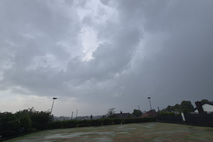
Thunderstorm Watch 12th May 2024:
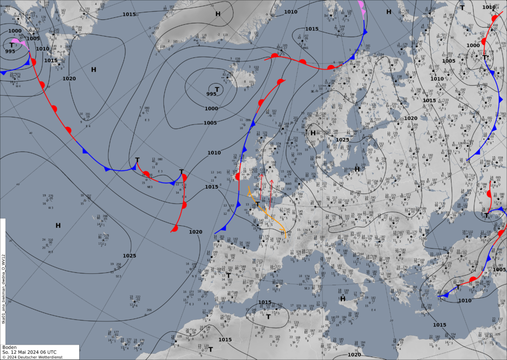
Instability will build today ahead of a trough feature that is currently situated to the south-west and across France. CAPE (measure of instability) values in excess of 1200 J/kg are expected this afternoon and is more than enough to support and maintain thunderstorm activity.
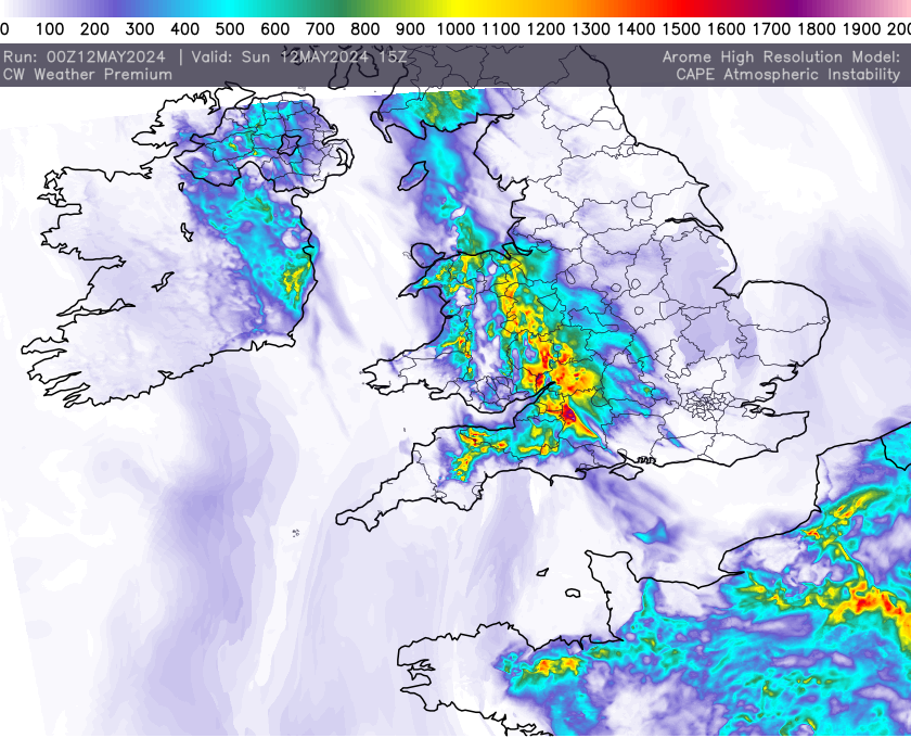
As the trough shift north eroding the stable layer, thunderstorms will break out across parts of Wales and the W Midlands before developing further north into NW England.
Heavy and torrential rainfall, hail, strong convective wind gusts and some hail will all be possible which may lead to localised flooding. Lightning maybe frequent in the stronger cells too. Anywhere within the highlighted red zone below will be at risk.
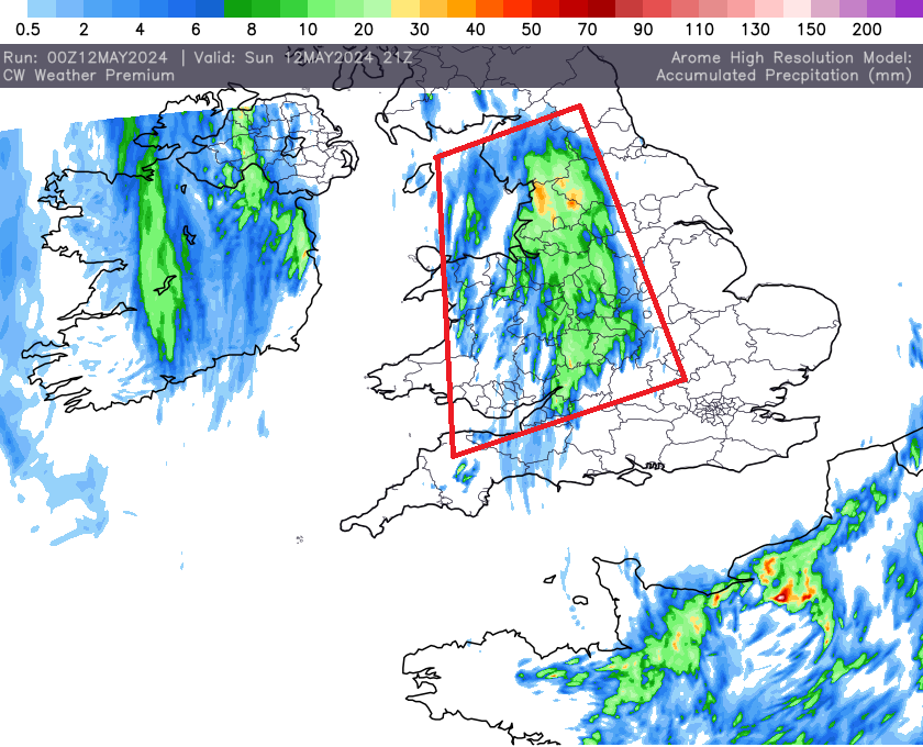
Below is data from the UKV model from the met office that we produce in house here at CW Weather and it shows lightning data or density if you like and shows the risk areas nicely. As you can see one or two more intense cells are possible, these capable of producing frequent lightning.
As always with thundery downpours some will avoid them, some wont so be sure to keep an eye on the radar later on.