This forecast is updated daily from 06:00 using the very latest data and observations..
Fresher northwesterly brings sunshine and coastal showers, then a chilly night
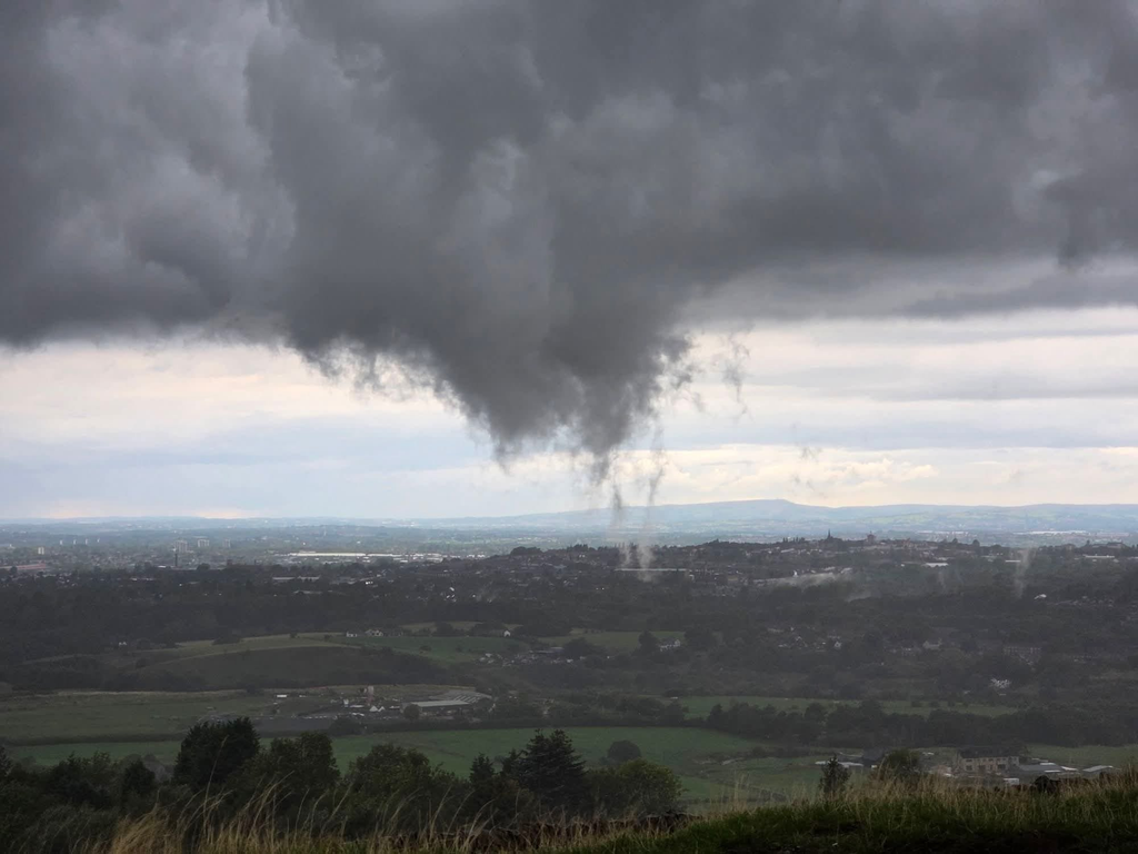
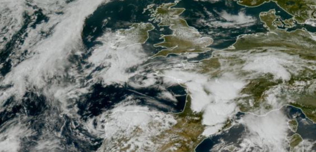
Overnight rain clears eastwards from Greater Manchester, east Cheshire and the Pennines around dawn, leaving a bright morning with sunny spells across the region. Cloud builds later with a few showers running down the Irish Sea, mainly offshore at first but clipping the Wirral and west Cheshire around midday.
This afternoon brings sunny spells and scattered showers, mostly for western coasts from the Fylde to Merseyside and the Cumbrian coast, with a few drifting into the Lake District. Inland Lancashire, Greater Manchester and the Pennines stay largely dry. It will feel markedly cooler than recent days in a brisk northwesterly, with highs of 11C to 13C, locally 14C, and only 8C to 10C over the hills. Gusts reach 20 to 25 mph inland and 25 to 30 mph on the coast, locally a little more.
This evening showers push inland from the Fylde and Merseyside towards Preston and the western edge of Greater Manchester, before becoming confined to the Wirral and west Cheshire overnight. Skies clear and winds fall light inland, so temperatures drop to 2C to 5C with a touch of grass frost in sheltered rural spots, while the coast stays breezy with gusts of 28 to 35 mph and milder.
Today’s forecast is sponsored by our sister site, budgetBrunch.co.uk – your home for supermarket bargains, money-saving meal ideas and delicious recipes that won’t break the bank.