One of the enduring characteristics of British weather is its variability and unpredictability. It’s not uncommon to experience a mix of sunshine, rain, showers, and even the occasional burst of wintry weather, all within the span of a single week. This week is likely to be no exception, with a blend of different weather patterns expected across the country.
Showers and Sunshine:
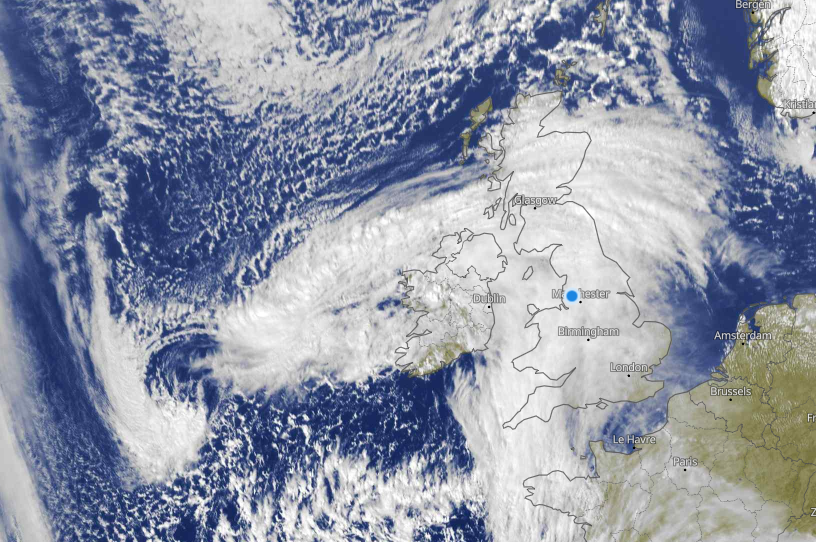
Throughout the week, we can expect a mixture of sunshine and showers to prevail. While some regions may enjoy some spells of sunshine, others may contend with passing showers and periods of rain, particularly in northern and western areas. The timing and intensity of these showers can vary, so it’s advisable to keep an umbrella or wet weather clothes handy if you’re venturing outdoors.
Temperature Trends:
In terms of temperatures, the week ahead is likely to bring average conditions overall. Daytime highs are expected to range from around 7 to 12 degrees Celsius in many areas, but across Scotland it will remain rather cold here. Overnight lows may dip well into the single digits across the country, again across Scotland, especially the north, colder still with minus figures possible here. This will lead to frost and ice but also rain or showers will turn increasingly wintry with elevation.
Winds and Conditions:
Winds may play a role in shaping the weather this week, particularly in coastal areas and higher elevations. While not expected to be excessively strong, gusty winds could accompany passing weather systems, adding a brisk edge to the air. Coastal regions may also experience slightly cooler temperatures due to the influence of sea breezes. The west certainly seeing blustery winds early in the week but then later in the week the south could see a spells of gales for a time.
Looking Ahead:
As we look further ahead into the start of April, pressure will get slacker and this will mean less rain overall but showers will remain a distinct possibility, it will be April after all!!! There are increasing signals though that blocking will develop to the north or northwest of the UK. This will bring the likelihood of some colder weather, so despite hitting the second spring month, we may revert back to winter. This of course a while away yet and premium members will be well advised on this risk in the coming days.
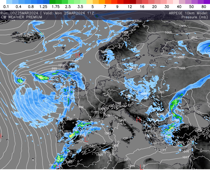
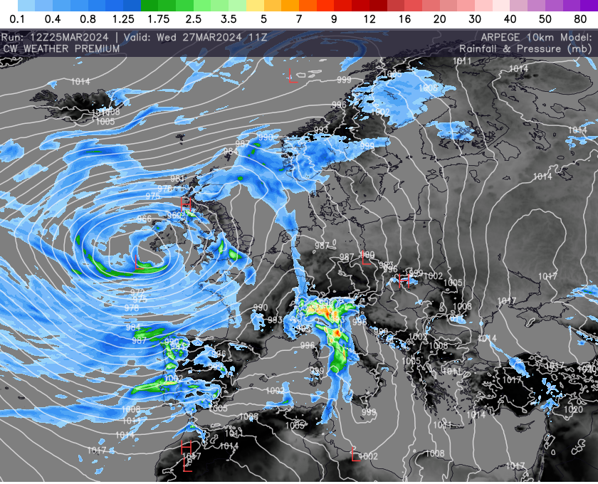
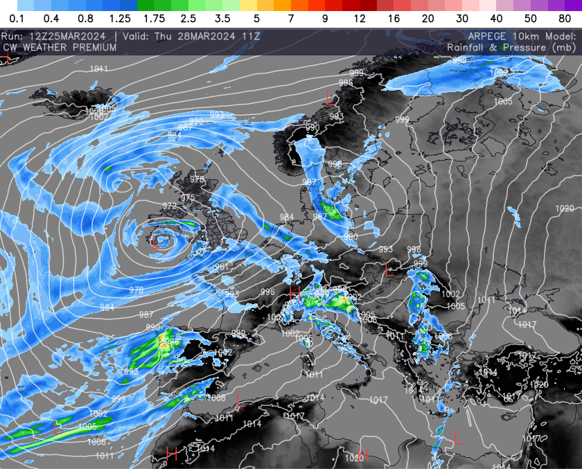
For now here are snapshots for the next few days using our pressure and rainfall charts, which shows low pressure remaining over or close by to the UK through the week. All our weather data can be found here >> CW Weather Data.