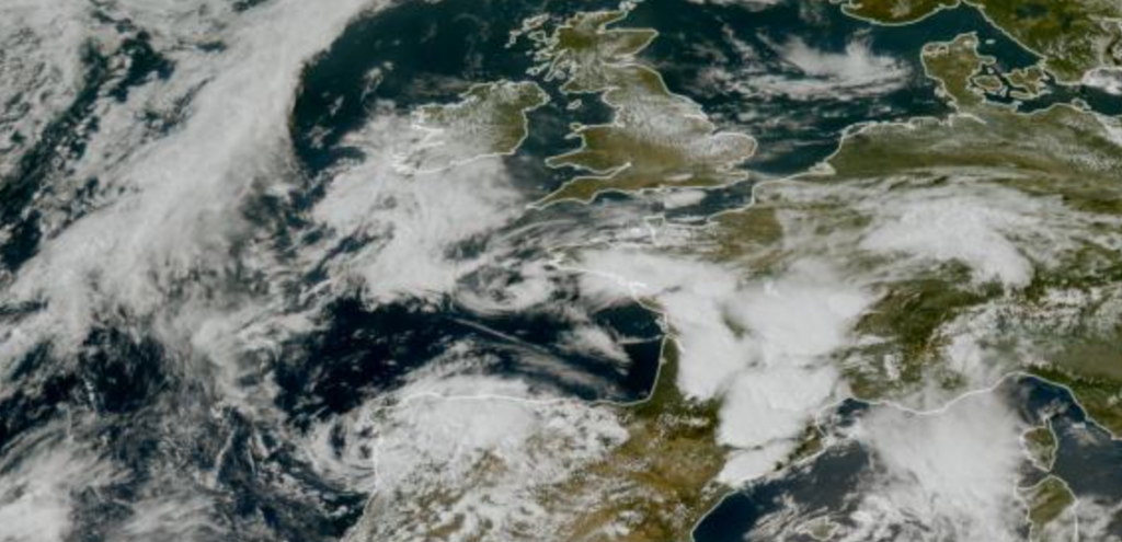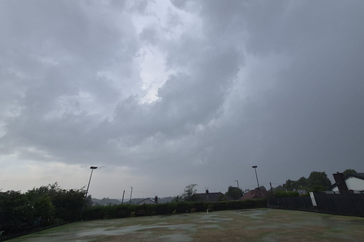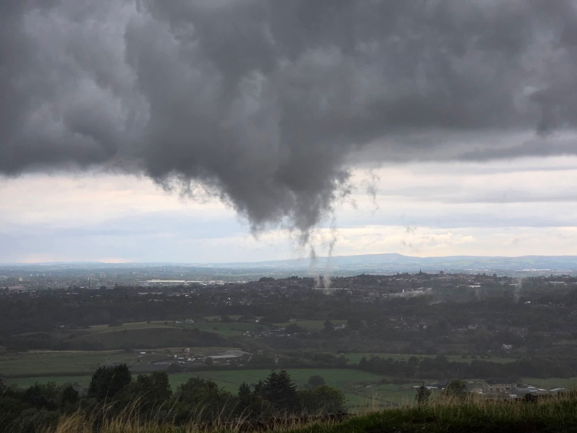
Images and videos circulating from Greater Manchester on Sunday have inevitably attracted plenty of attention, with some reports, including media, quickly describing the feature as a “tornado”. However, when we look beyond the dramatic appearance of the cloud and examine the meteorological evidence, there is currently very little to support that conclusion.
The North West had experienced numerous showers throughout the weekend, and Sunday was no exception. The Met Office forecast called for frequent showers during the afternoon, some heavy with hail and thunder, in relatively mild and muggy conditions with temperatures around 20°C.
These conditions are very capable of producing turbulent and extremely ragged cloud bases. With temperature and dew point relatively close together, the lower atmosphere contained plenty of moisture, allowing condensation to occur at comparatively low levels beneath heavier showers.
This is where scud cloud, or pannus/fractus, becomes important.
Scud frequently develops beneath showers and thunderstorms as moist air is lifted into the cooler air underneath the main cloud base. It can form rapidly, rise, change shape and disappear just as quickly. From a distance, these fragments can produce remarkably convincing funnel-like shapes — particularly in a photograph capturing one instant in time.
And that appears to be what Sunday’s images show.
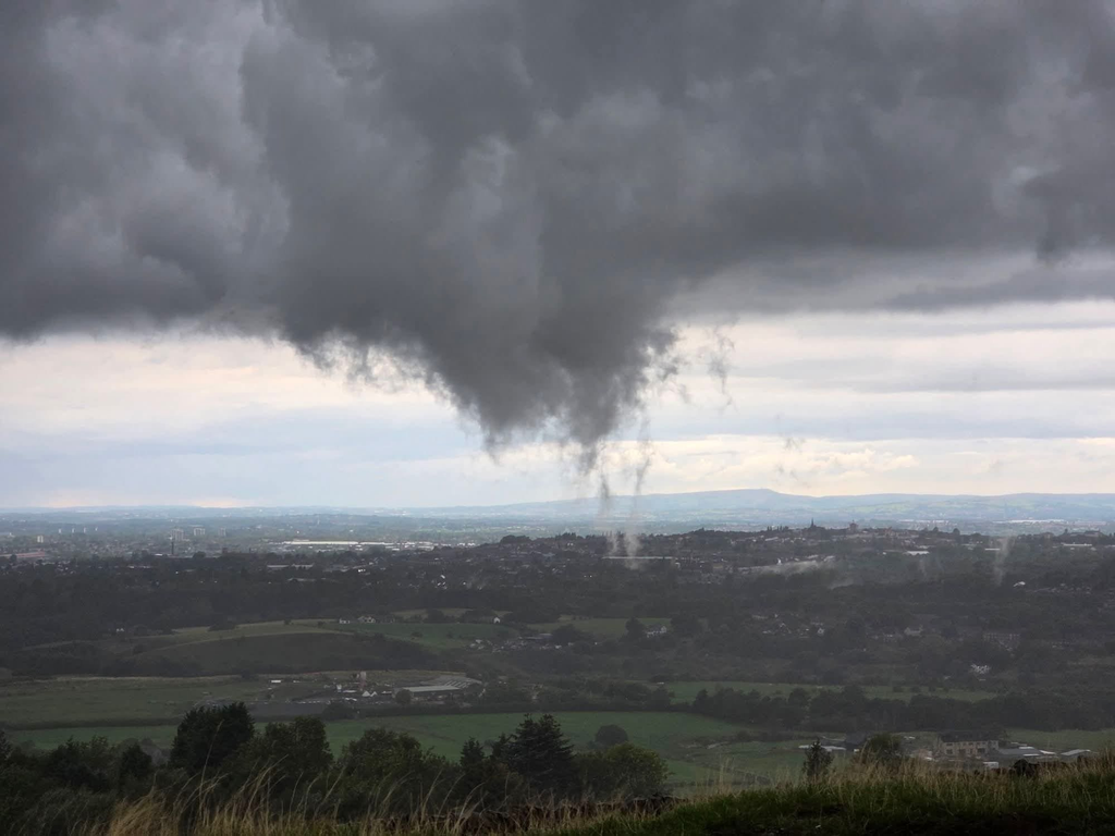
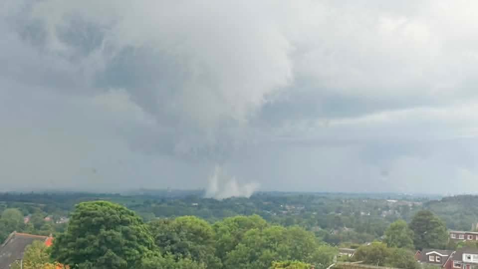
There are several pieces of evidence against the tornado interpretation. The cloud feature itself is broad, ragged and poorly organised rather than displaying an obvious coherent rotating funnel. More importantly, video footage we have examined shows no discernible rotation within the feature.
The wider atmospheric environment also wasn’t particularly supportive of tornado development. Surface winds were generally slack, with a relatively weak wind field rather than the stronger low-level shear normally associated with a more significant organised tornado threat.
Radar is another useful piece of evidence. Although numerous convective showers crossed the region, we have seen no convincing rotational signature associated with this particular feature. Finally, there have been no reports we’re aware of of a corresponding narrow damage track or surface damage that would provide evidence of a tornado reaching the ground.