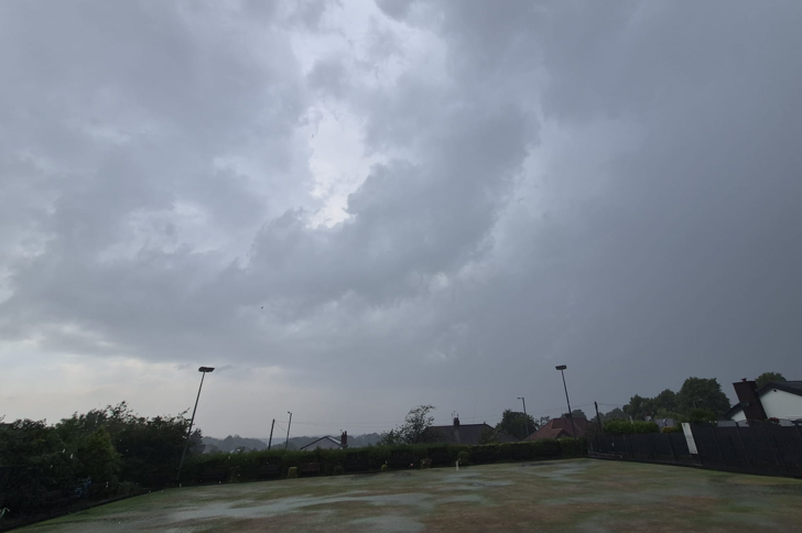
It’s autumn and that usually heralds active weather across the UK, especially late in autumn but next week we really ramp the weather up.
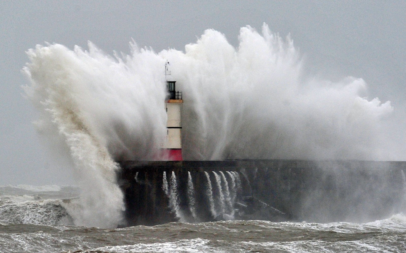
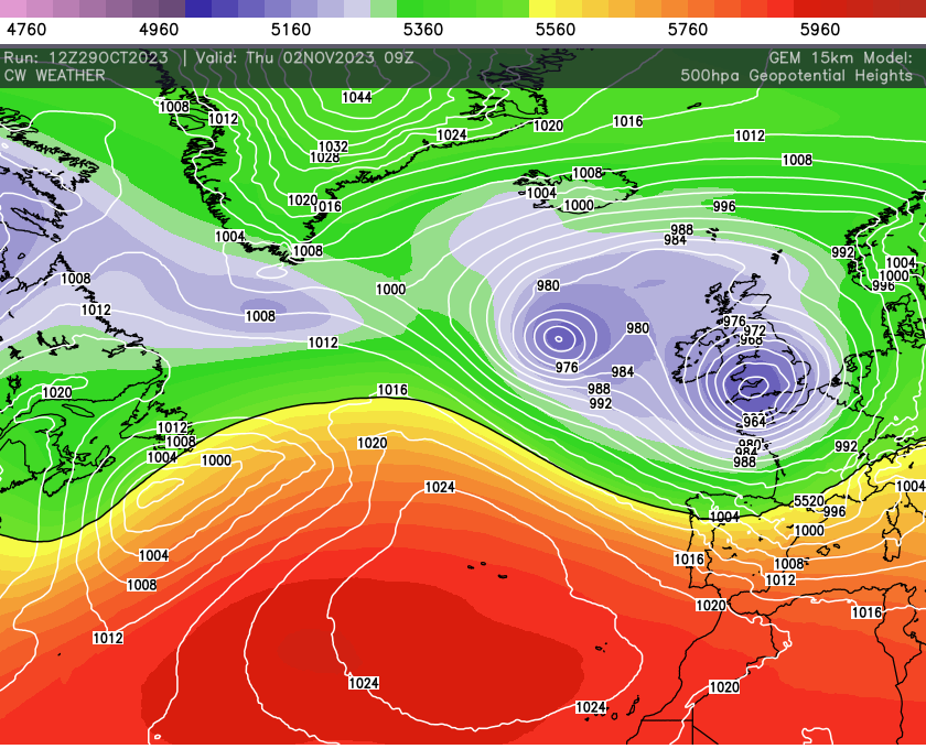
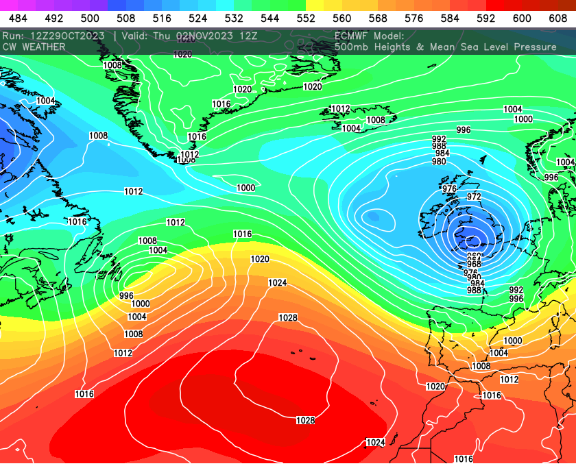
The jet stream is really going to fire up through the week, bringing deep lows across the UK. One very notable storm will arrive late Wednesday into Thursday.

Current model guidance has this low tracking across southern parts of the UK and northern France with the worst winds likely through the English Channel are.
This storm has the hallmarks of being quite nasty with rapid cyclogenesis being modelled. Of note however, is if this occurs and the low deepens a lot, then history tells us that a north-east wobble isn’t out of the question. That would bring the south, Wales and the Midlands into the firing line. For now though keep checking for our updates.

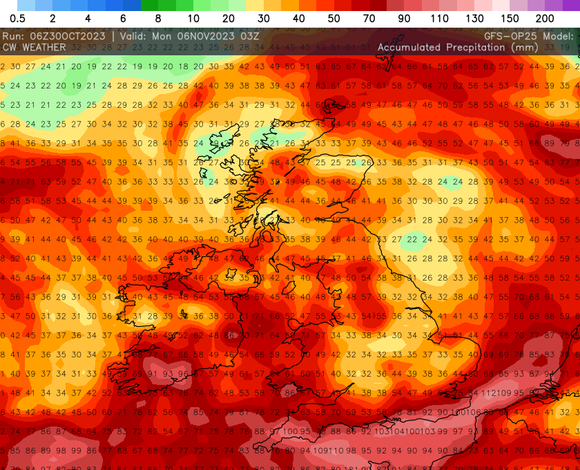
Another deep low isn’t out of the question across the weekend too so a lively period of weather is expected and this won’t help areas already flooded, as across the next 7 days there will be plenty of rain to come.