As the UK braces for the arrival of an impending high-pressure system later this week, meteorological projections unveil a nuanced forecast, highlighting not only the system’s influence but also the intricacies of weather dynamics in the region. Let’s delve deeper into the anticipated atmospheric conditions and their implications across the country.
The High-Pressure System:
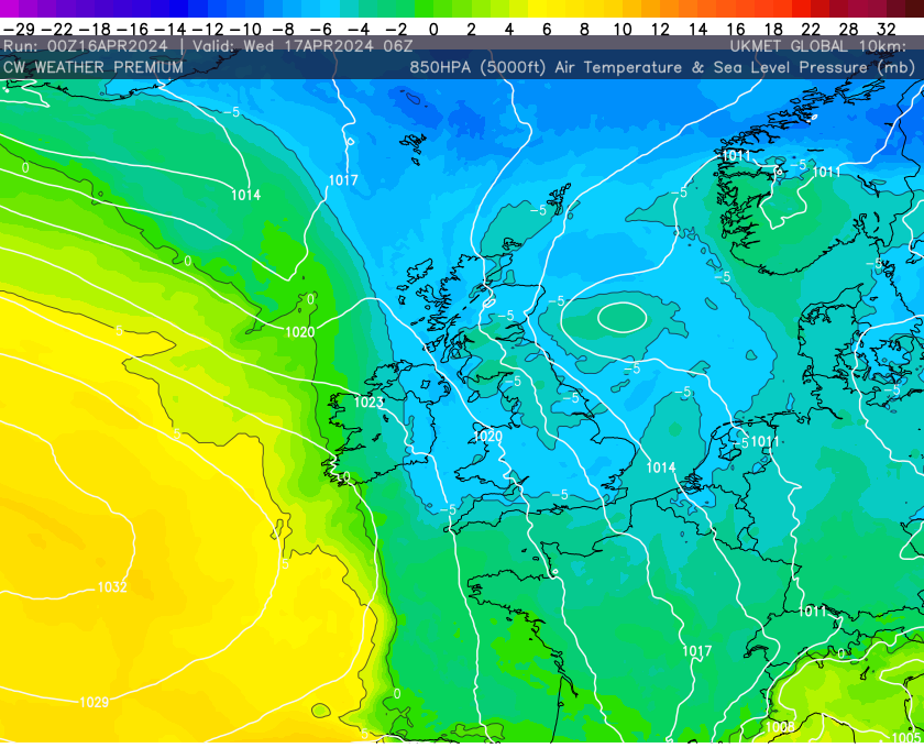
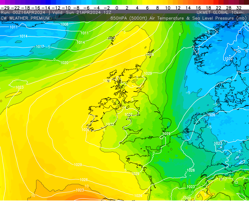
Expected to settle over the UK in the coming days, the high-pressure system brings with it a gamut of weather phenomena. Initially, as the system establishes itself, a noticeable chill in the air is anticipated due to a northerly or north-westerly air flow. Cold air masses often accompany the onset of high-pressure systems in spring, resulting in a dip in temperatures across the country. However, this cold spell is forecasted to be short-lived, as slightly warmer conditions are expected to prevail as the weekend approaches.
Temperature Variations:
As the week progresses, temperatures are poised to undergo a notable shift. Initially cooler, particularly in the wake of the high-pressure system’s arrival, the mercury is forecasted to gradually rise as the weekend unfolds. This temperature modulation, from colder to milder conditions, sets the stage for a dynamic weather experience throughout the week.
Precipitation Patterns:
Contrary to the stereotypical image of high-pressure systems yielding solely dry weather, the forecast for the UK presents a nuanced reality. While the system promises clearer skies and drier conditions overall, intermittent showers are anticipated at times as high pressure builds to the west. These scattered showers, though sporadic, punctuate the otherwise fair weather expected during the system’s development.
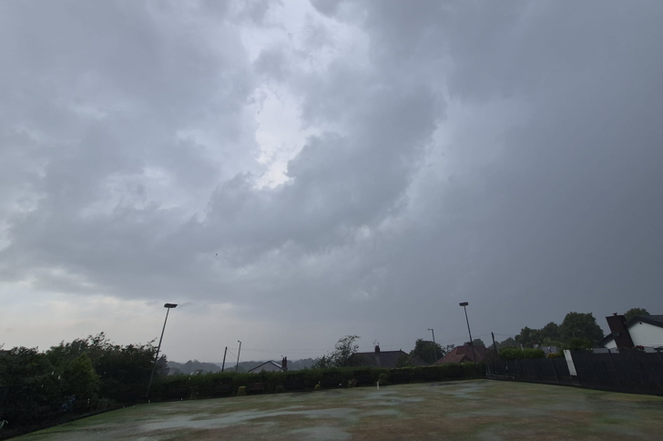
Thursday’s Rainfall Event:
A notable feature in the week’s forecast is the advent of a frontal system on Thursday, heralding the arrival of rain from the north. This frontal boundary, shifting southwards, brings the prospect of widespread precipitation across the UK. The winds will remain very gusty through the day too and it will feel like a brief throw back to the dull depths of winter.


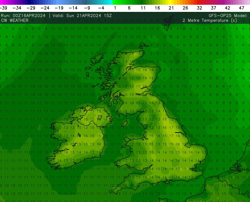
Weekend Outlook:
As the week draws to a close, a discernible change in weather patterns is anticipated. The high-pressure system exerts its influence more prominently, resulting in a significant decrease in showers and a return to drier conditions. The weekend heralds a period of respite, characterised by clearer skies, diminished chances of precipitation, and a more settled and pleasant outlook and as already mentioned, getting warmer with it but we are still a far cry away from summery warmth, seasonal at best!!