La Niña, a climatic phenomenon characterised by cooler-than-average sea surface temperatures in the central and eastern Pacific Ocean, is set to make its presence felt once again. As meteorologists and climate scientists anticipate its return in 2024, there’s significant attention on how this pattern will influence the upcoming hurricane season. Historically, La Niña has been associated with changes in weather patterns globally, and its effects on the Atlantic hurricane season are particularly noteworthy.
What is La Niña?
La Niña is the cold phase of the El Niño-Southern Oscillation (ENSO) cycle, which also includes the warm phase known as El Niño and a neutral phase. During La Niña events, strong trade winds push warm water towards Asia, leading to upwelling of cooler water in the eastern Pacific. This shift in oceanic conditions can have far-reaching impacts on global weather, including alterations in jet stream patterns, precipitation, and temperature anomalies.
La Niña’s Influence on the Atlantic Hurricane Season
La Niña tends to create atmospheric conditions conducive to an active Atlantic hurricane season. Several factors contribute to this phenomenon:
- Reduced Wind Shear: Wind shear refers to the change in wind speed and direction with height. High wind shear can tear apart developing storms, while low wind shear allows them to grow. La Niña typically reduces vertical wind shear over the tropical Atlantic, providing a more favorable environment for hurricane formation and intensification.
- Warmer Sea Surface Temperatures in the Atlantic: While La Niña cools the Pacific, it often corresponds with warmer-than-average sea surface temperatures in the Atlantic. Warm waters serve as fuel for hurricanes, enhancing their development and potential strength.
- Enhanced Moisture Levels: La Niña conditions can lead to increased moisture in the atmosphere over the Atlantic, further supporting the development of tropical systems.
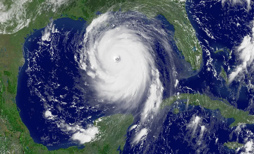
We are already seeing La Nina take hold with cooler waters very visible off the coast of South America but the waters are already very warm in the Atlantic, especially where the breeding ground is off the coast of Africa across to the Gulf of Mexico.

Predicted Impact on the 2024 Hurricane Season
Given these typical La Niña conditions, the 2024 Atlantic hurricane season is expected to be more active than average. The National Oceanic and Atmospheric Administration (NOAA) and other meteorological agencies are likely to predict an above-average number of storms, hurricanes, and major hurricanes. Here’s what we can anticipate:
- Increased Storm Frequency: More tropical storms and hurricanes are expected to form due to the favorable conditions created by La Niña. This includes a higher likelihood of storms developing earlier and later in the season.
- Greater Storm Intensity: With warmer sea surface temperatures and reduced wind shear, storms that do form have a greater chance of becoming more intense. This means a higher likelihood of Category 3, 4, or 5 hurricanes.
- Potential for More Landfalls: An active season increases the probability of storms making landfall, which could lead to significant impacts on coastal communities in the Atlantic Basin, including the Caribbean, Gulf of Mexico, and the Eastern Seaboard of the United States.
Of course its not just America that is affected, below you can see what the global impacts that La Nina brings. Parts of Australia will see wetter and cooler than average conditions, colder for eastern South America too.


La Nina doesn’t directly impact our shores but I would be lying if I said it didn’t impact us at all, it clearly will. Changes in the tropics always have knock on effects and La Nina is no different. One only has to look back at December 2010 which brought about the coldest December on Met Office records. Now every La Nina is different so dont run off with the idea that’s happening this year. Ill be updating clients on the impacts for this Summer in the coming week and what it may mean for winter too, so be sure not to miss out by joining us. Click here for more information on joining the premium.