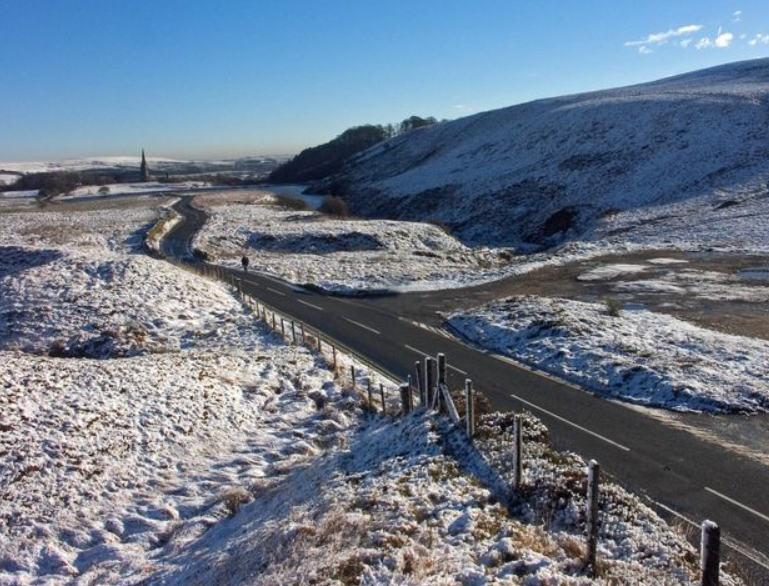
Cold air from the north-east has spread across the country over the past couple of days and is or will bring snow to some parts of the UK across the next several days, along with widespread frosts and ice also bringing hazards.
Cold air has been building across Scandinavia for some time now and thanks to an easterly flow we are now tapping into this cold air.

Snow showers are already affecting eastern parts of the UK and these will only continue for the next few days, some accumulations will be likely. The latest snow accumulation data from the ARPEGE model highlights this nicely.

Across the weekend there maybe a risk of snow across the west in some places, as a westerly drift in what is a broad slack flow will bring moisture into play. Premium members have already been informed of the risk to NW England.

If you dont get any snow its still going to be wintry with hard frosts likely as temperatures drop well below freezing, this bringing an added ice risk where you get showers, even if they fall as rain, the surface will freeze very rapidly in clear spells.
How long is the cold in for? Well there is good cross model agreement that the cold shifts away east but the timing is still open to question. The 6th of December would be the front runner for now. You can keep across all the data running through the day via our DATA PAGE.