The tabloids dont miss a trick these days, searching through weather charts they dont understand for the slightest excuse to post outrageous articles. This week has been no different as the models continue to show a cold waft dropping south across the UK later this week.
Cue the “Epic snow to fall across the UK, here are the exact dates” stories. In essence they just look at weather charts beyond the scope for reasonable outcomes and are simply wish casting.
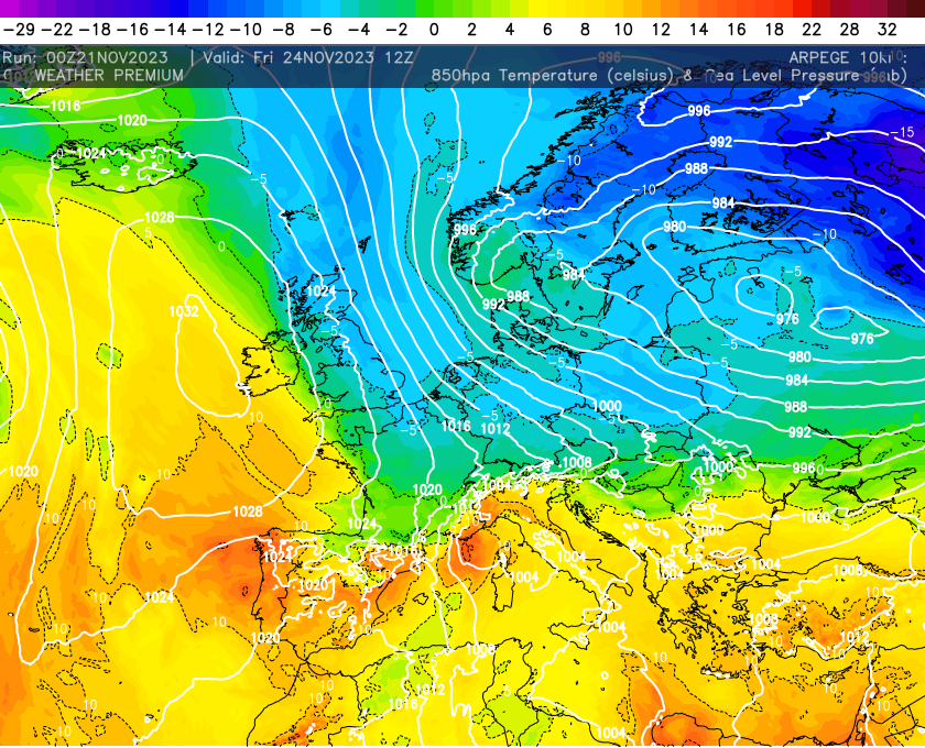
The cold air due later this week is simply nothing more than a waft of cold air, quite common for the time of year and nothing we haven’t seen before. The animation below shows this nicely with colder air dropping south later on Thursday but its soon gone by Sunday for many.
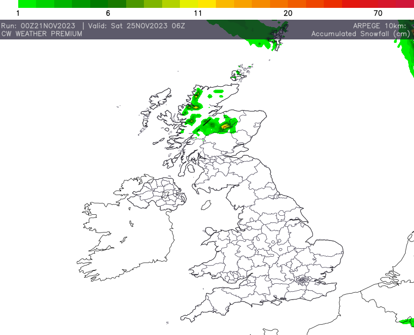
This will undoubtedly bring some wintry weather with frosts risks but also some sleet and snow across the hills and mountains in the far north, the snow accumulation data below highlights this. For many though it will just bring a period of drier weather but with a distinct chill in the air.