Weather patterns have always fascinated humanity, from the ancient civilizations to modern meteorologists. Among the most intriguing phenomena is the El Niño Southern Oscillation (ENSO), a climatic cycle that influences weather patterns worldwide. As we transition from El Niño to La Niña this year, understanding these shifts becomes crucial for communities, economies, and ecosystems globally.
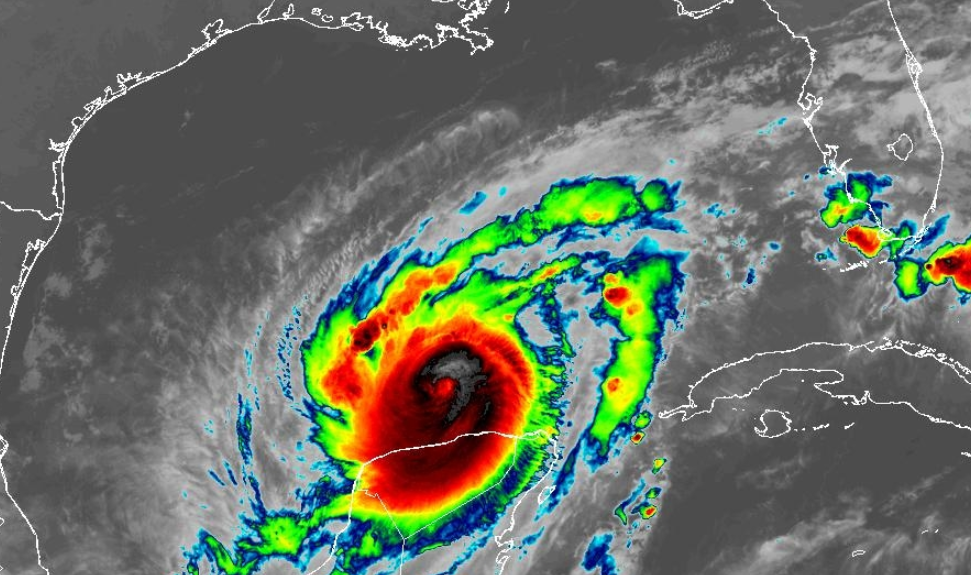
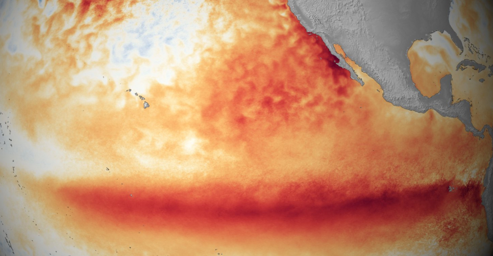
El Niño, characterised by warmer-than-average sea surface temperatures in the central and eastern Pacific Ocean, has been making its presence felt in recent times. This phase often brings about disruptions in weather patterns, such as increased rainfall in some regions and droughts in others. From altered precipitation patterns to intensified hurricanes (especially the Pacific side), El Niño’s impacts are widespread and varied.
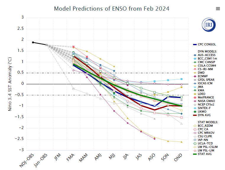
However, like all things in nature, El Niño’s reign is temporary. As we move forward, signs point towards a transition into its counterpart: La Niña, the time-fame of this flip is looking increasingly likely through mid-Spring with La Nina conditions expected late Summer into Autumn.
La Niña is the cooler counterpart of El Niño, marked by colder-than-average sea surface temperatures in the central and eastern Pacific Ocean. This phase typically brings about its own set of weather patterns, often contrasting those of El Niño. While El Niño might lead to drought in some areas, La Niña tends to enhance rainfall in others, leading to floods and other climatic extremes.
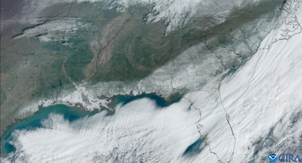
Here in Europe and the UK we are not directly affected by these changes in sea surface temperatures but indirectly we certainly are. Global patterns will alter in line with atmospheric responses to these changes in temperatures and we can look historically at what impacts have occurred.
Years where we have seen moderate to strong El Nino’s flip to a moderate or above La Nina’s tend to allow high pressure to build in the North Atlantic. Through this summer if this occurs we could be looking at a very poor summer as if, and its a big if, pressure rises in the north Atlantic, then this means low pressure will be located over or close by to the UK. Yes the active west will be blocked but low pressure over the UK in summer leads to heavy showers and thundery weather. This isn’t a forecast by the way, just what history tells us.

Of course there are many other variables to take into consideration which of course I will be doing when producing longer term forecasts and outlooks for this summer but the background signal for now isn’t a great one for a warm and dry summer.