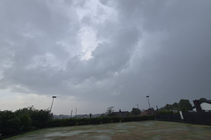
The weather in the Southern US has taken its residents on a wild ride this past week, showcasing the dramatic fluctuations the region is often known for. Just last week, parts of the South saw rare snowstorms and chilly temperatures, creating a winter wonderland in areas that usually don’t get to see the snow much. People were bundling up and waking up to icy roads, with schools closing and flights delayed. The sight of snowflakes swirling in the air brought some seasonal cheer to areas like Texas, Arkansas, and Louisiana—places where snow is more of a novelty than a regular occurrence.
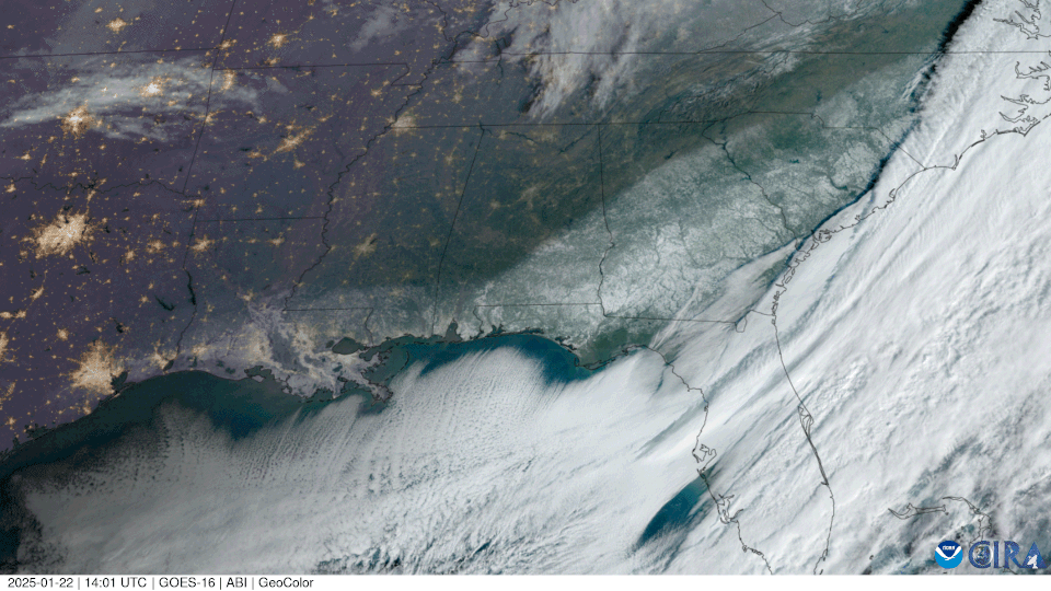
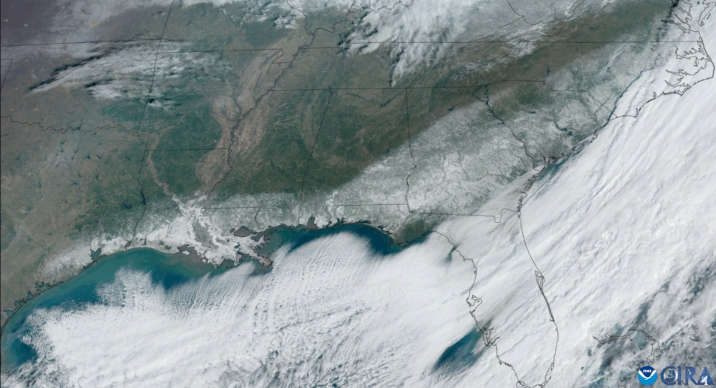
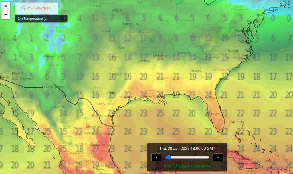
Fast forward to this week, and the entire tone of the forecast has shifted. Temperatures have risen dramatically, with highs reaching into the 60s, 70s, and even 80s across many southern states. The once frigid air has been replaced with balmy breezes, as if the region skipped over spring entirely and jumped straight into a warm, almost summer-like atmosphere. With these warmer temperatures, people are swapping out winter coats for T-shirts and shorts.
With this heat come the risk of severe thunderstorms:
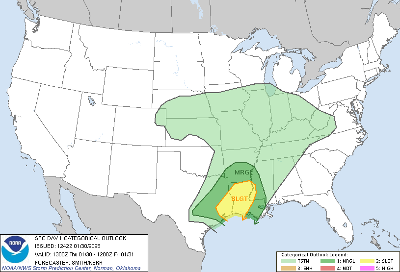
SPC AC 301242 Day 1 Convective Outlook NWS Storm Prediction Center Norman OK 0642 AM CST Thu Jan 30 2025 Valid 301300Z – 311200Z …
THERE IS A SLIGHT RISK OF SEVERE THUNDERSTORMS FOR SOUTHEAST TEXAS INTO CENTRAL AND NORTHERN LOUISIANA AND FAR WESTERN MISSISSIPPI…
…SUMMARY…
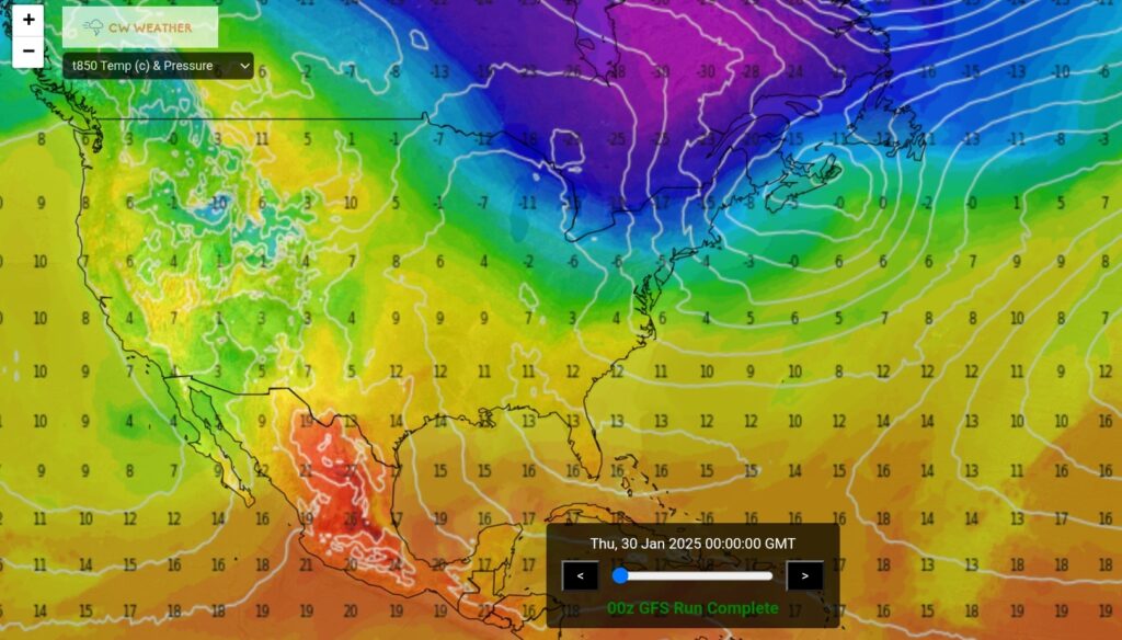
Strong/isolated severe storms will be possible today into tonight from eastern portions of Texas eastward across the Lower Mississippi Valley. …East-central TX into the lower MS Valley… A large mid to upper-level low centered near the CO/KS/OK/TX border region will migrate eastward through tonight before reaching the lower MO Valley early Friday morning. A belt of 100+ kt 500-mb flow will move from southwest TX northeastward into eastern OK/north TX by early evening before overspreading the Ark-La-Miss and lower OH Valley. The strongest upper forcing for ascent will shift northeastward from the southern Great Plains into the Ozarks and lower OH Valley. Coincidentally, a weak surface low will move from northeast TX towards the IL vicinity late tonight. Surface analysis this morning indicates a warm frontal zone draped over northeastern TX and central LA. Model guidance indicates this feature will advance into parts of the lower MS Valley/Mid South later this afternoon/evening.
Considerable cloudiness today will limit overall destabilization in combination with relatively marginal mid-level lapse rates (reference 12 UTC Fort Worth/Del Rio, TX and Shreveport, LA raobs). However, a plume of modified Gulf moisture featuring dewpoints ranging from near 70 to the mid 60s, extends from Deep South TX northward into eastern TX ahead of the cold front and south of the northward advancing warm frontal zone. Uncertainty for severe today into tonight is related to overall weak instability and storm development immediately ahead of the front. It seems plausible storms will gradually intensify through the morning into the afternoon. Forecast soundings show enlarged hodographs which would support a potential risk for organized line segments/supercells. Damaging gusts and an isolated risk for a couple of tornadoes appear to be the primary threats with the stronger storms as this potential severe activity shifts east in tandem with a strong LLJ. Weaker instability with east extent into the lower MS Valley this evening/tonight will likely lead to a lessening severe threat with time.
..Smith/Kerr.. 01/30/2025