NW England Weather Forecast: Tuesday, March 3rd 2026
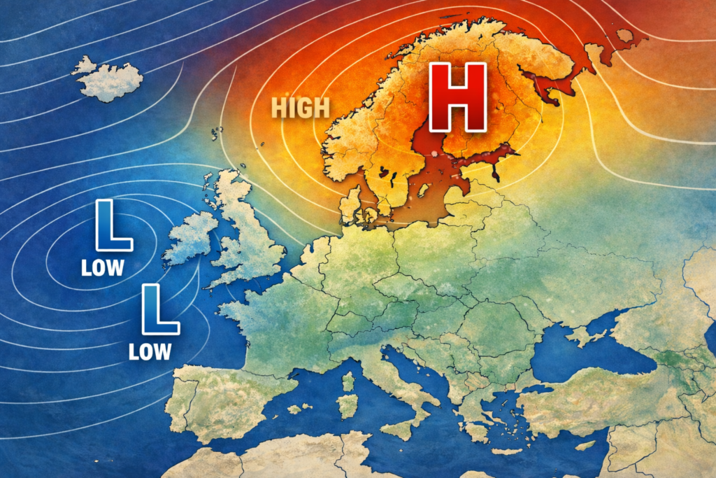
High pressure in charge with plenty of sunshine around!!
After a chilly start this morning, it’s shaping up to be a lovely day with plenty of sunshine around. A bit of cloud may bubble up through the afternoon, but it’ll stay dry from start to finish. It’ll feel a touch fresher than Monday, with highs around 12°C.
Tonight stays dry and clear to begin with, leading to a chilly night and a patchy frost in rural spots. Cloud will gradually build later on, especially across southern areas, with temperatures dipping to around 2°C.
Wednesday continues the settled theme — largely dry with some sunshine breaking through. It’ll be slightly milder than today, reaching about 13°C, though cloud may thicken at times, particularly in the south.
Looking ahead, Thursday stays mostly dry and bright to start, before rain arrives later in the day. High pressure then builds back in from Friday, bringing more dry and bright weather, though temperatures settle back closer to seasonal average.