UK Weather Forecast

UK Weather Forecast: What to Expect Over the Next Few Days

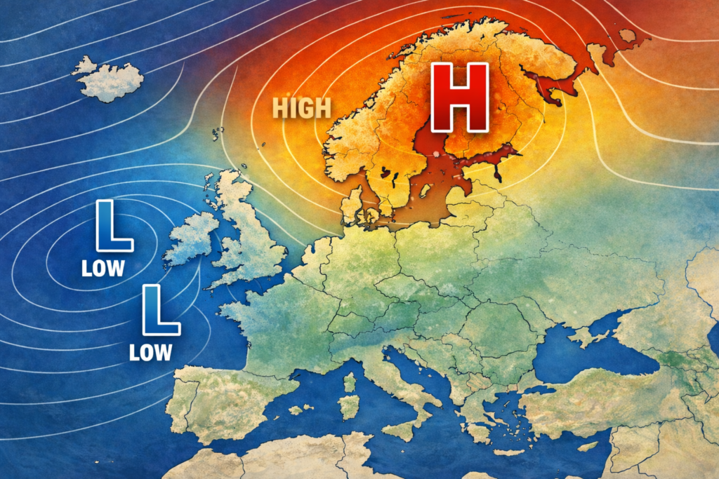
Autumn arrives this week with much cooler weather likely but rather windy with it as well. While it will be drier overall for many of you, showers will affect northern and western parts driven in by stiff winds. High pressure ridges in late in the week and for the early weekend but wet and windy weather not far behind it!!!

Tuesday: Autumn arrives!!!

Overnight a deep area of low pressure shift east across northern parts of the UK with gales likely for many northern and western parts but especially so across north-west Scotland, perhaps severe gales here.

Through Tuesday a frontal system shifts north to south, breaking up in the processes but giving enough rain for the north before clearing away, with brighter skies in behind. The front not clearing the south until late evening. The winds remain very gusty throughout the day across many areas.

Across the north post cold front, plenty of blustery showers will develop across Scotland, N Ireland and northern England and these will be heavy and frequent at times with some, hail, thunder and lightning possible in the stronger cells. Feeling cool overall with temperatures between 7c to 14c, still humid ahead of the cold front though in the south.

Wednesday: Sunshine, showers and feeling cool!!

A stiff N/NW flow is expected for Wednesday and while this will mean drier and brighter weather for many of you, those exposed to the flow will see plenty of showers. It will be a cold feeling day though, especially in those winds.

Northern and western Scotland, N Ireland, NW England and N & W Wales and exposed parts of Cornwall will be open to showers but they will be more frequent in the north and here they will be heavy at times, with hail possible and the odd rumble of thunder not ruled out either. Temperatures will be cool with 7c to 14c but given the stiff winds it will feel much colder than that.

Thursday: Blustery showers for the north and west, pressure building later!!!

A north westerly flow resides across the UK and as such further blustery showers will be likely across northern and western parts. Areas again likely to be affected are northern and western Scotland, N Ireland, NW England and N & W Wales along with exposed parts of Cornwall. As the flow turns more northerly though then parts of eastern England will see a few showers.

Generally elsewhere there will be a good mixture of sunny spells and variable amounts of cloud and largely dry weather although the odd shower or two can’t be completely ruled out anywhere. The winds remain blustery through the day but pressure is building from the west, this will kill off the showers overall and will mean the winds slacken off as well. Still felling cool with values between 7c to 14c. Rural frosts not ruled out overnight in the north.  

Related posts

Leave a Comment